
 Español
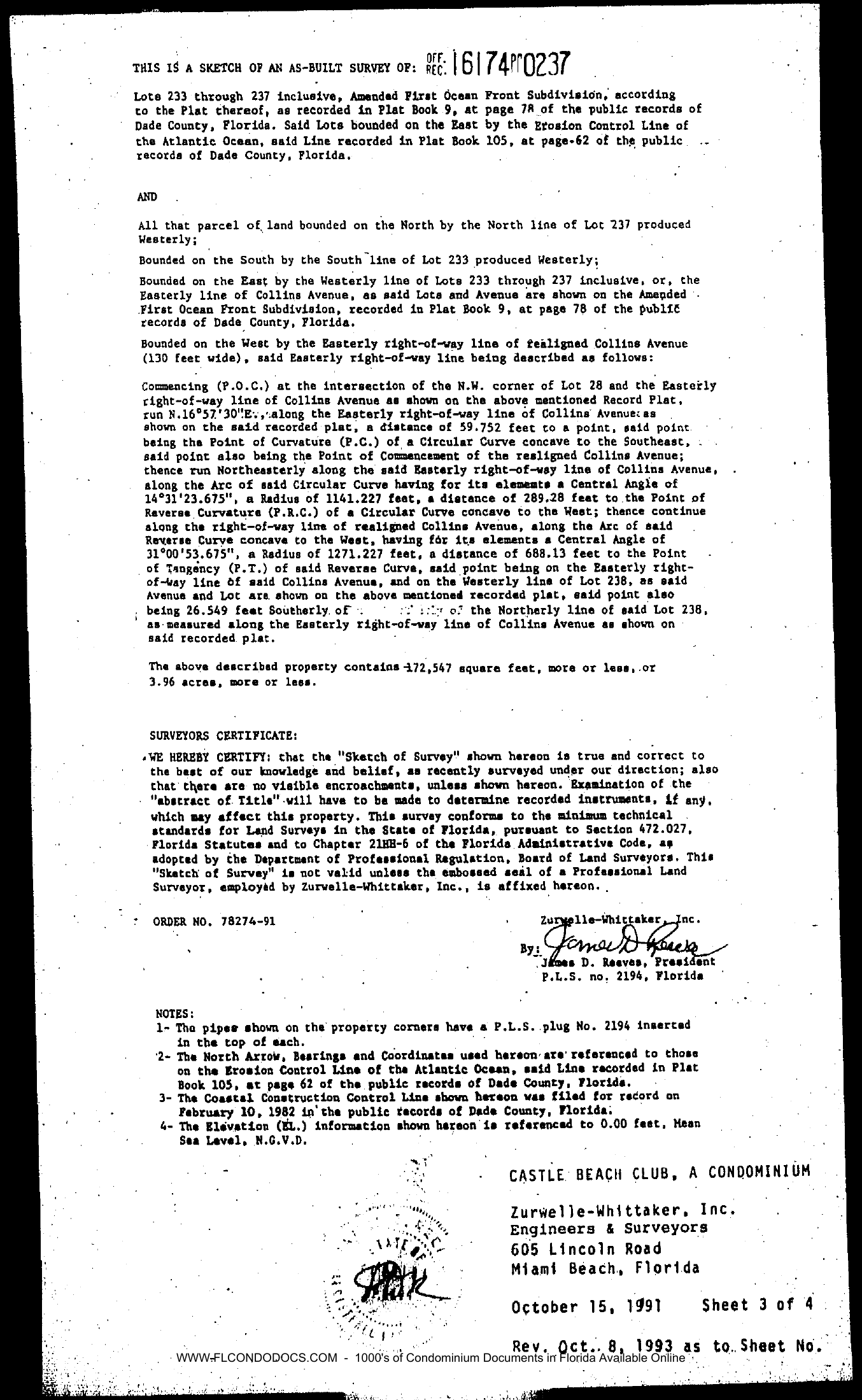
"THIS IS A SKETCH OF AN AS-BUILT SURVEY OF:" followed by the same legal description as the original Exhibit A Sheet 2A (Lots 233-237, Amended First Ocean Front Subdivision, PB 9/78; erosion control line PB 105/62; westerly parcel bounded by the realigned Collins Avenue right-of-way, with the identical metes-and-bounds description; 172,547 sq ft / 3.96 acres more or less) and the same SURVEYORS CERTIFICATE text (472.027 / 21HH-6 minimum technical standards; embossed-seal validity clause). ORDER NO. 78274-91. Zurwelle-Whittaker, Inc. By: [signature] James D. Reeves, President, P.L.S. no. 2194, Florida.
New NOTES block:
1- The pipes shown on the property corners have a P.L.S. plug No. 2194 inserted in the top of each.
2- The North Arrow, Bearings and Coordinates used hereon are referenced to those on the Erosion Control Line of the Atlantic Ocean, said Line recorded in Plat Book 105, at page 62 of the public records of Dade County, Florida.
3- The Coastal Construction Control Line shown hereon was filed for record on February 10, 1982 in the public records of Dade County, Florida.
4- The Elevation (EL.) information shown hereon is referenced to 0.00 feet, Mean Sea Level, N.G.V.D.
CASTLE BEACH CLUB, A CONDOMINIUM. Zurwelle-Whittaker, Inc., October 15, 1991. Sheet 3 of 4[2]. "Rev. Oct. 8, 1993 as to Sheet No." [Embossed seal and signature. The Fourth Amendment replaces Exhibit A with a renumbered 42-sheet set.]